

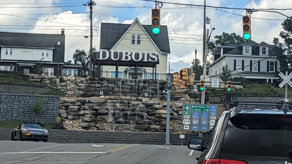
This terraced stone waterfall and monumental “DUBOIS” gateway sign stand at the T-intersection of Liberty Boulevard (U.S. Route 219) and DuBois Avenue (PA Route 255) in downtown DuBois, Pennsylvania. Constructed as a civic gateway centerpiece along a steep hillside embankment, it combines naturalistic boulder masonry, tiered water cascades, and residential streetscape framing.
Built into the sloped embankment directly facing oncoming traffic from Liberty Boulevard, the feature stacks massive, rough-hewn fieldstone boulders into two distinct retaining terraces separated by an intermediate concrete basin and black wrought-iron safety fencing. Recirculating water spills over flat limestone weir stones across both tiers into a lower catch basin bordered by a segmented concrete block retaining wall.
Crowning the upper terrace is a timber-framed pavilion structure topped by four-foot-tall, illuminated white block letters spelling “DUBOIS”. Behind the sign sits a small public overlook plaza with picnic tables enclosed by ornamental black metal railings.
Flanking the natural boulder waterfall on the left is a formal ashlar-patterned gray masonry retaining wall that stabilizes the steep grade change between the lower highway intersection and the residential hillside above.
Rising immediately behind the civic gateway along East DuBois Avenue is a row of late-19th- and early-20th-century wood-frame vernacular houses—most notably the steep-gabled, yellow clapboard residence framed directly behind the “DUBOIS” letters (built around 1880), flanked by two-story side-gable and hipped-roof homes with full-width front porches.
Installed as part of a $2.3 million state, federal, and municipal streetscape revitalization effort, the waterfall was built to create a visual focal point at the junction of U.S. 219, PA 255, and the Buffalo & Pittsburgh Railroad crossing (visible at the right edge of the frame). Following ground movement and structural settling in the upper concrete vault during 2025, DuBois City Council reviewed plans in late 2026 to dismantle the upper cascade vault and replace the upper tier with a six-course, stepped-back dry-stack boulder retaining wall to stabilize the hillside.
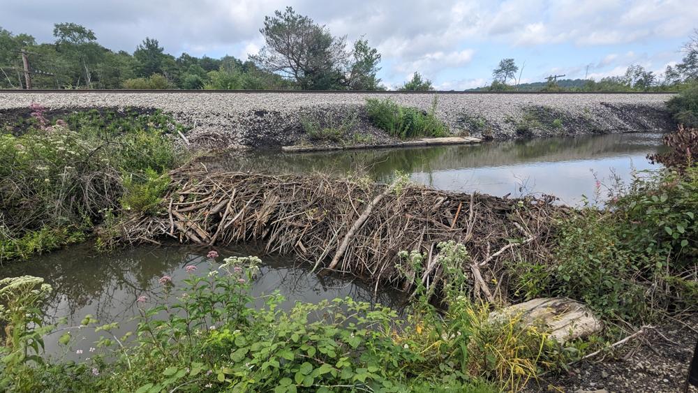
This photo captures an active beaver dam spanning a wetland channel directly beneath a raised stone-ballasted railroad embankment near Sandy Lick Creek and the Beaver Meadow Walkway (named for the historic “Big Beaver Meadow”). Built from interwoven branches, mud, and stripped saplings, the dam backs up a calm impoundment pond against the historic rail grade in the background.
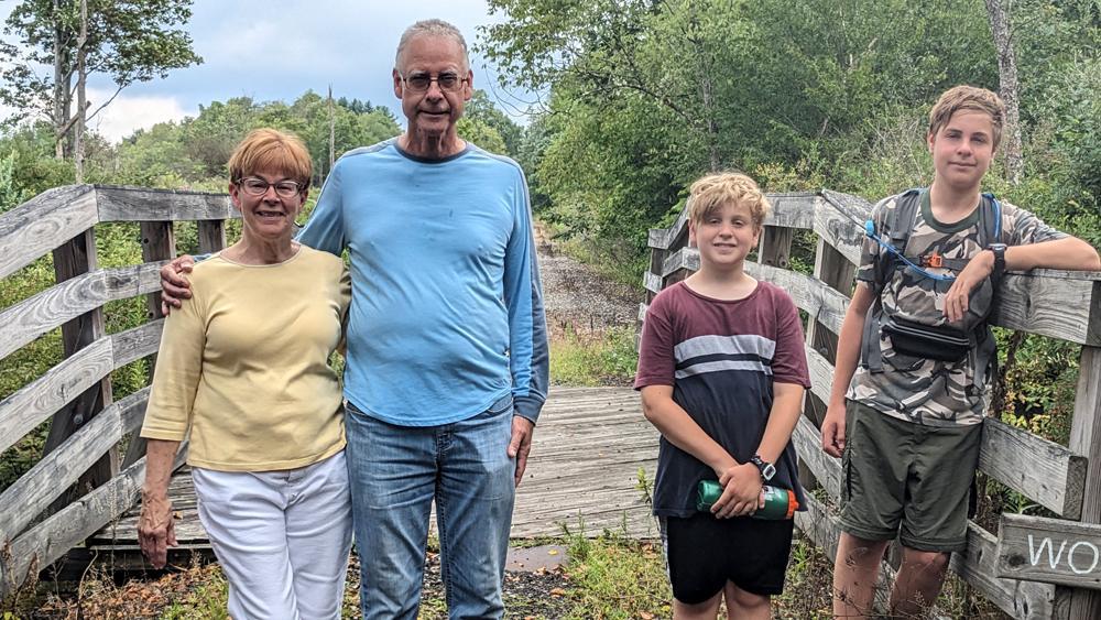
We enjoyed taking a brief hike and checking this out with family.